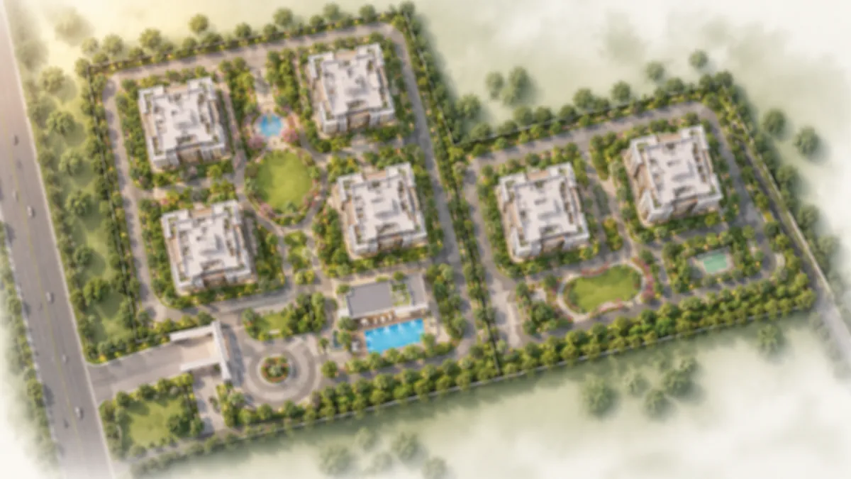
No master plan drawing has been published for this project. What exists is a government filing stating how much land the scheme covers, how many homes it proposes and how many blocks hold them. This page reads that filing and stops where the record stops. From a planning angle, Nambiar Bannerghatta keeps the reference local: internal roads, open-space placement, amenity access, and tower orientation all affect how the address will live after handover.
Mythri Sarjapur is the working title used on this site. Mythri Builders has not announced a marketing name for the development.
The promoter of record is Mythri Builders, a partnership firm at Broadway Building, 27th Main Road, HSR Layout, Bengaluru 560102. Its Terms of Reference application, SIA/KA/INFRA2/578619/2026, was filed on 23 May 2026, and a Standard ToR was granted on 27 May 2026 under File No. SEIAA 185 CON 2026. The environmental clearance application that followed, SIA/KA/INFRA2/584253/2026, was filed on 17 July 2026 and reads Under Verification. No clearance has been granted, the project holds no registration with the Karnataka Real Estate Regulatory Authority, and none is pending under the promoter's name.
This is a separate scheme from Mythri Sity, Mythri Street and Mythri Sikharam, the firm's three registered projects under way within about a kilometre, and from its completed Sapphire and Signature. It has its own survey numbers and no registration.
The parcel is an assembly, not a plot. Fifteen survey numbers across two revenue villages carry it: Sy. Nos. 25/1, 25/4, 25/5, 26/1 to 26/5, 27/3 and 27/5 of Hadosiddapura Village and Sy. Nos. 28/5, 28/10, 28/12 to 28/14 of Chikkanayakanahalli Village, both in Varthur Hobli, Bengaluru East Taluk. The site is off Sarjapur Road, reached by the Chikkanayakanahalli and Gattahalli Road side roads.
| Land item | As filed |
|---|
| Total land | 4.4641 hectares, which is 11.03 acres |
| Forest land | Nil |
| Shape of project | Non-linear |
| Tenure | Joint-development, power-of-attorney, exchange and sale instruments, declared "Acquired" |
| Resettlement | None declared |
Two readings are ours. The boundary file the promoter uploaded describes a box of roughly 354 m by 374 m, corners at 12.88760, 77.69607 and 12.89078, 77.69952, enclosing about 13.2 hectares. The parcel therefore fills roughly 34% of that rectangle, where 44,641 sq m laid out square would measure about 211 m a side. A holding stitched from fifteen survey numbers is the ordinary explanation, but no outline has been published as a drawing, and nobody outside the promoter's design team knows how the blocks are turned on the land.
Only an exchange deed for Sy. 25/1 is uploaded to the portal. Where a joint-development agreement sits behind a survey number the landowners become co-promoters at registration, and their names are on no public record today.